Ervay Basin Ranch


Ervay Basin Ranch
- Acreage
- Cattle Ranch
- Ranch
- Recreational Land
- Hunting Land
- Hunting
- Corrals
- Hwy/County Rd Frontage
Descriptions
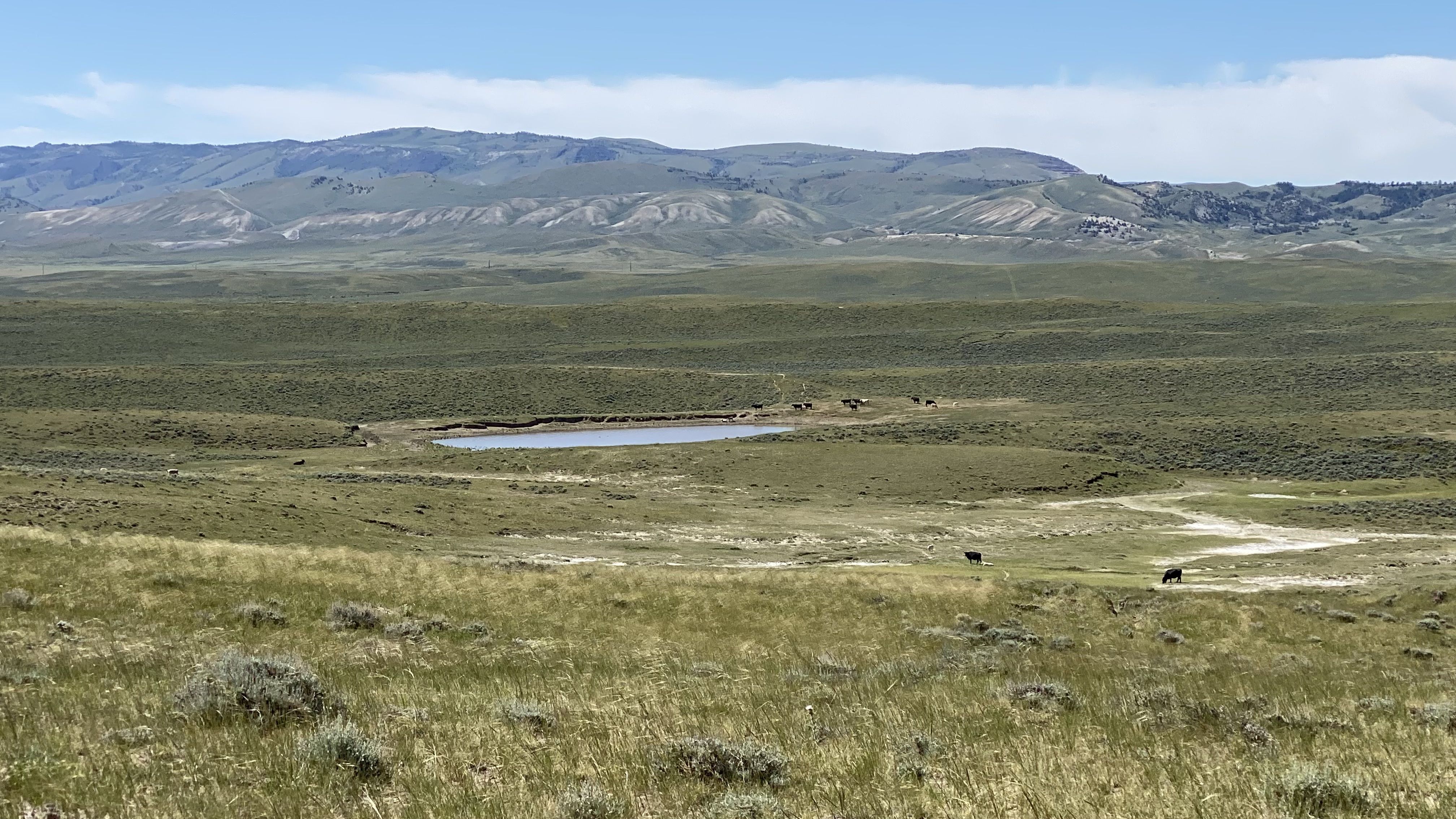
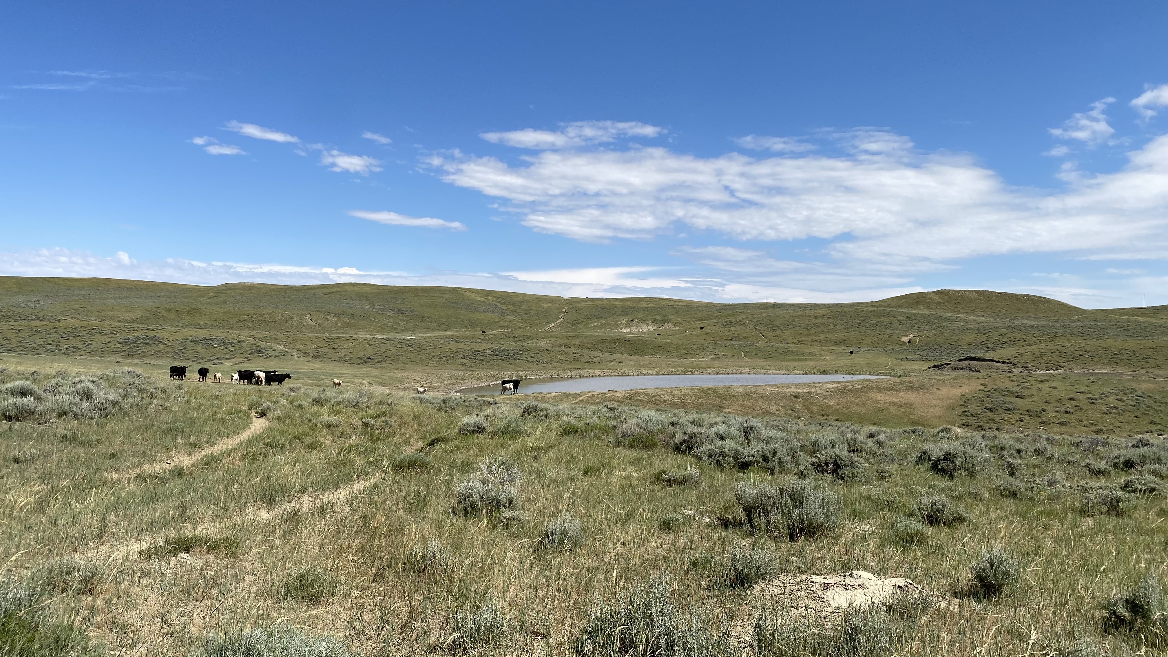
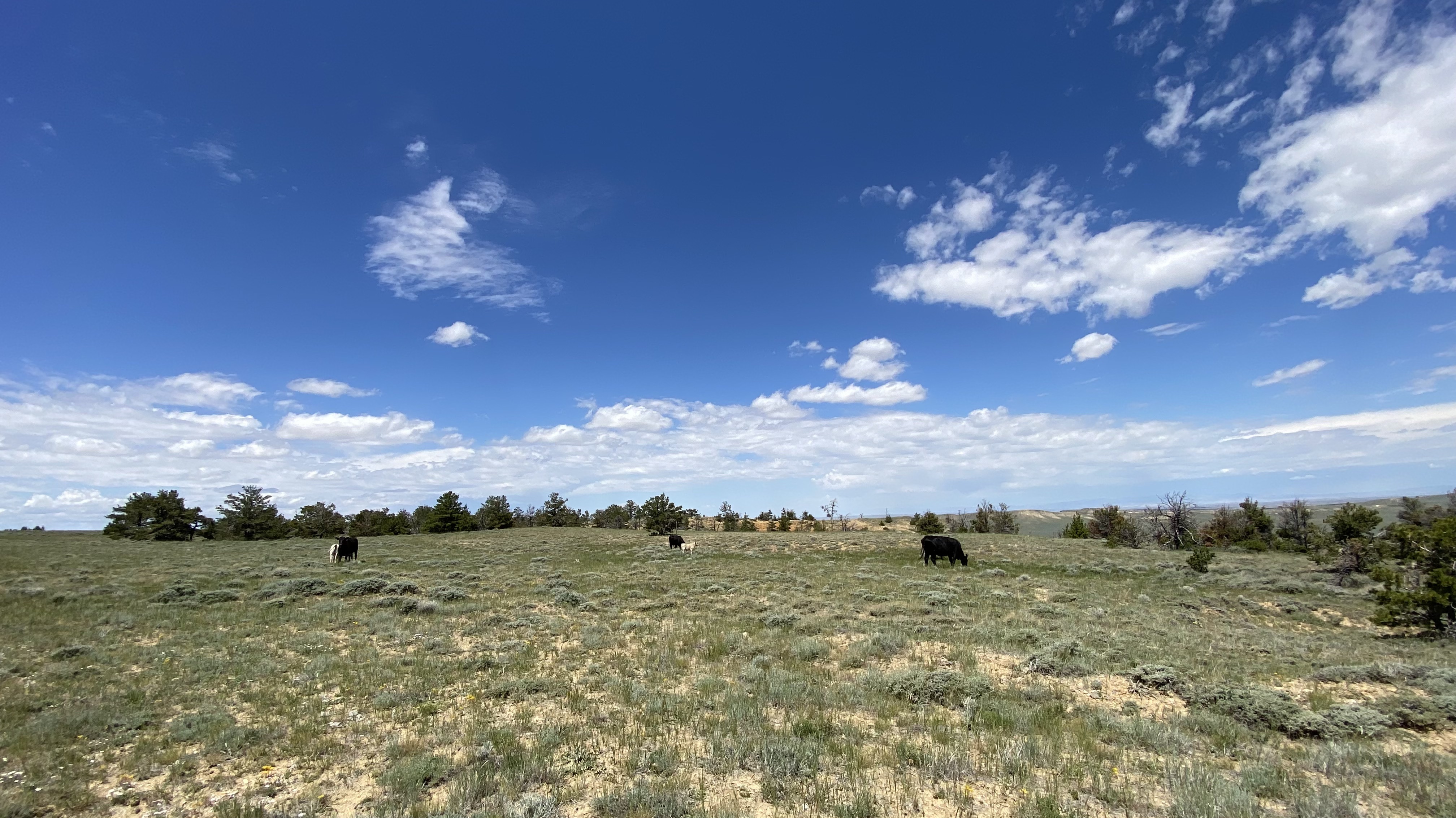
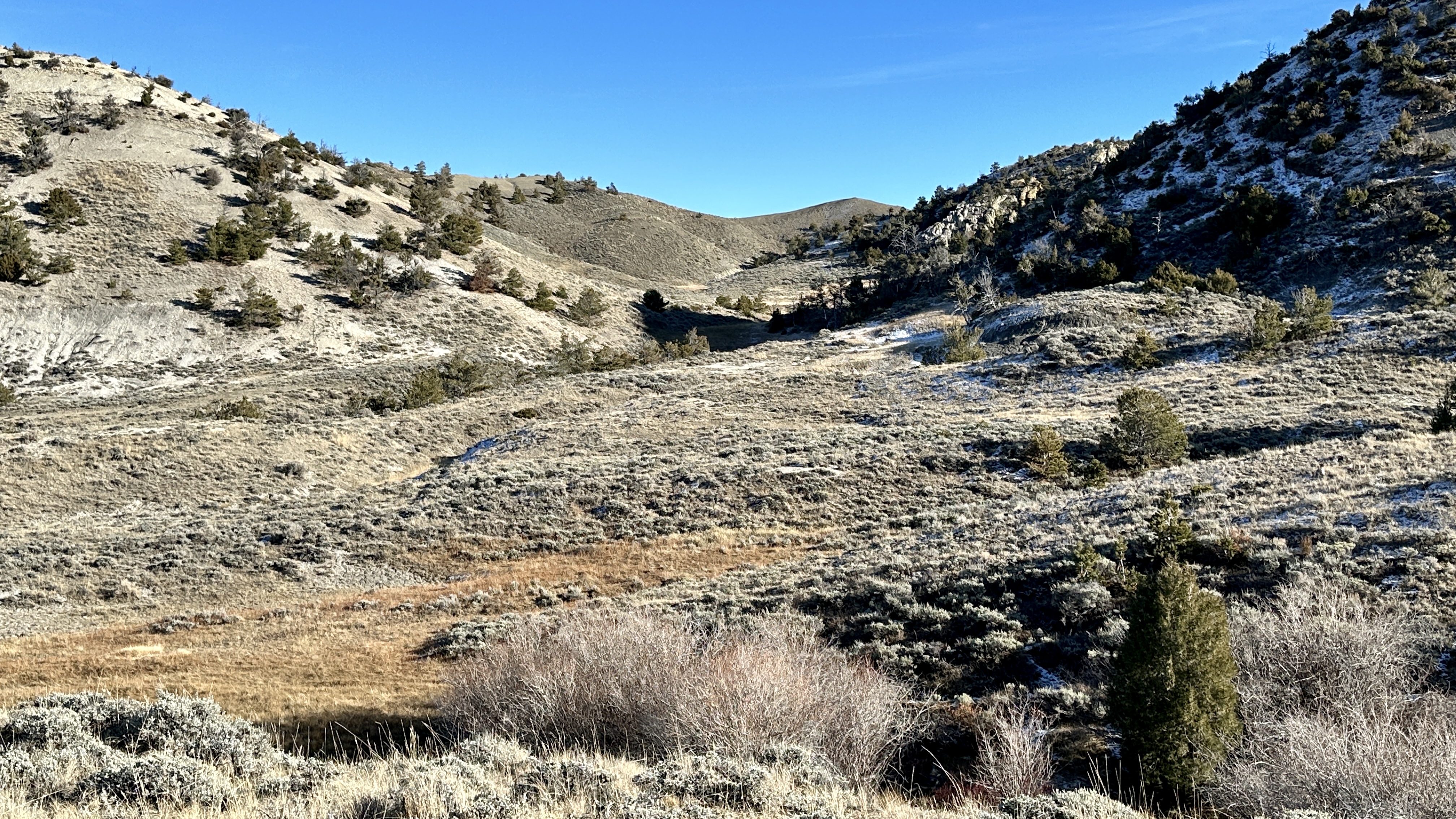
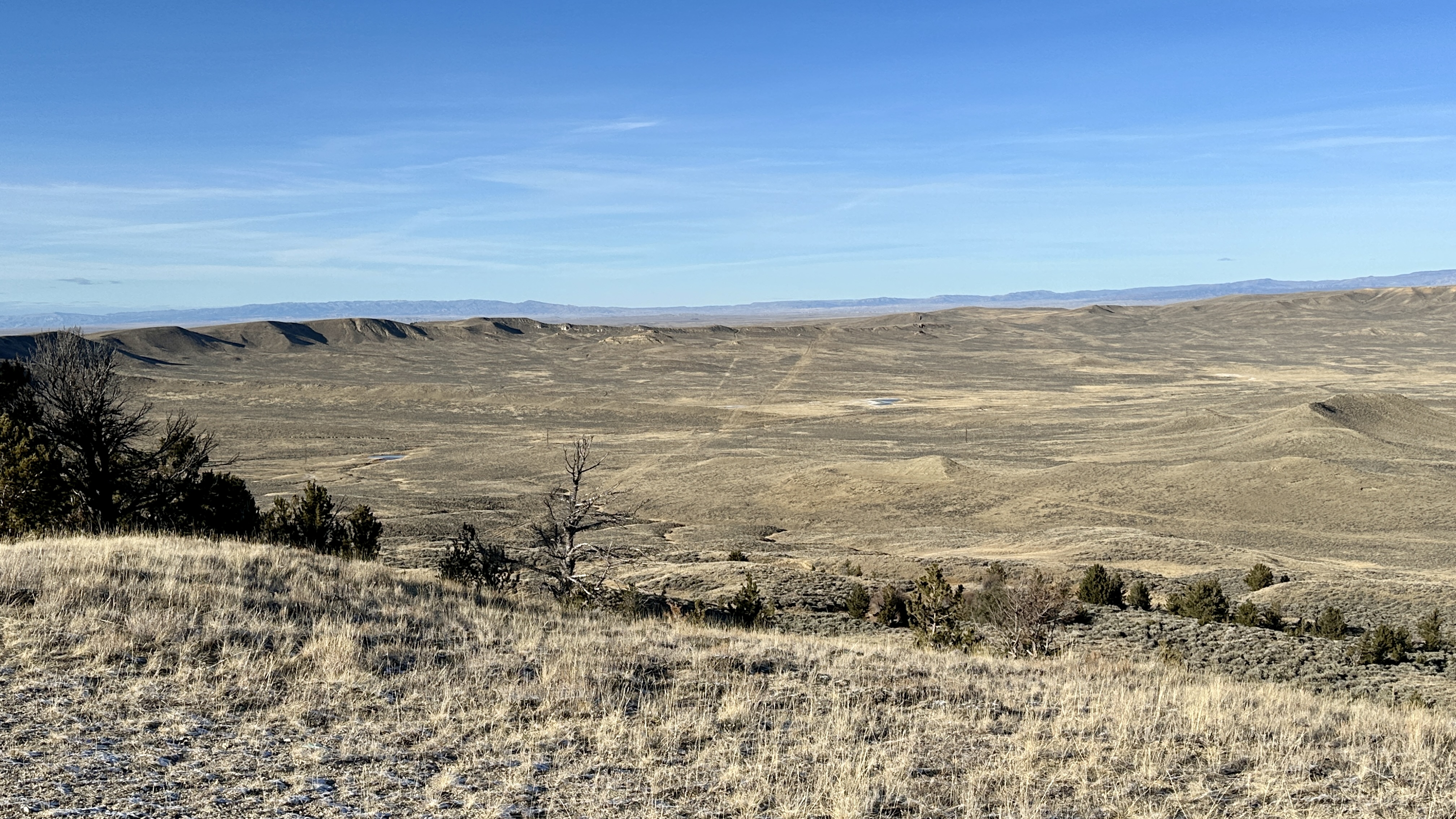
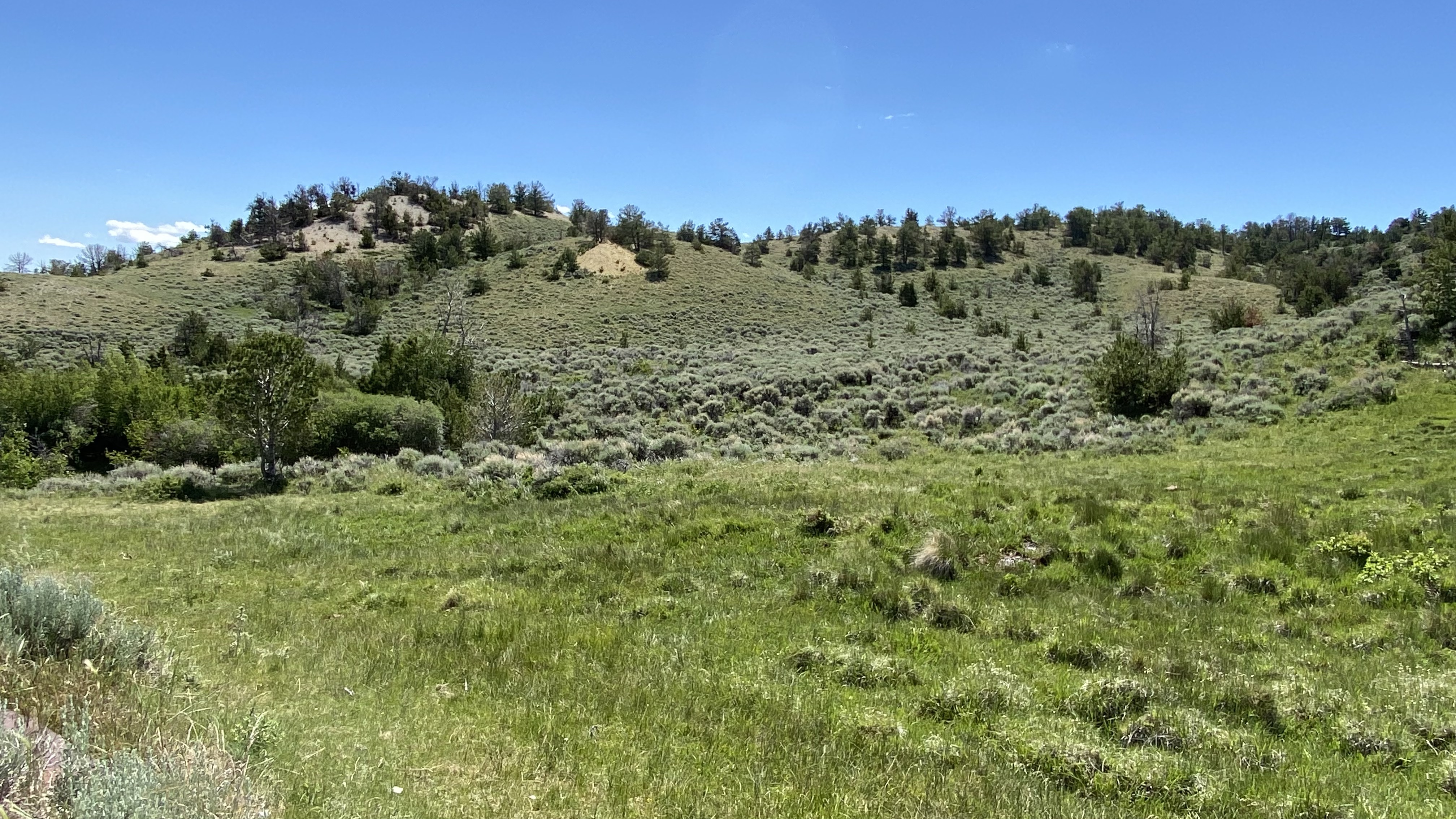
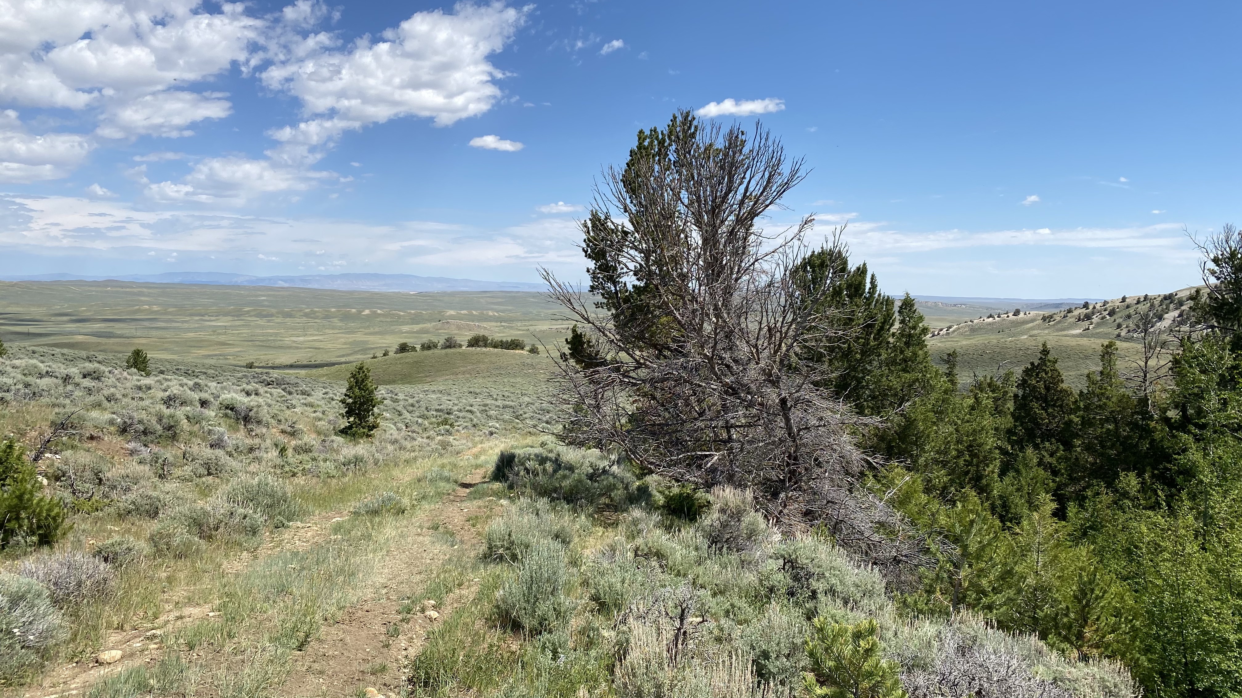
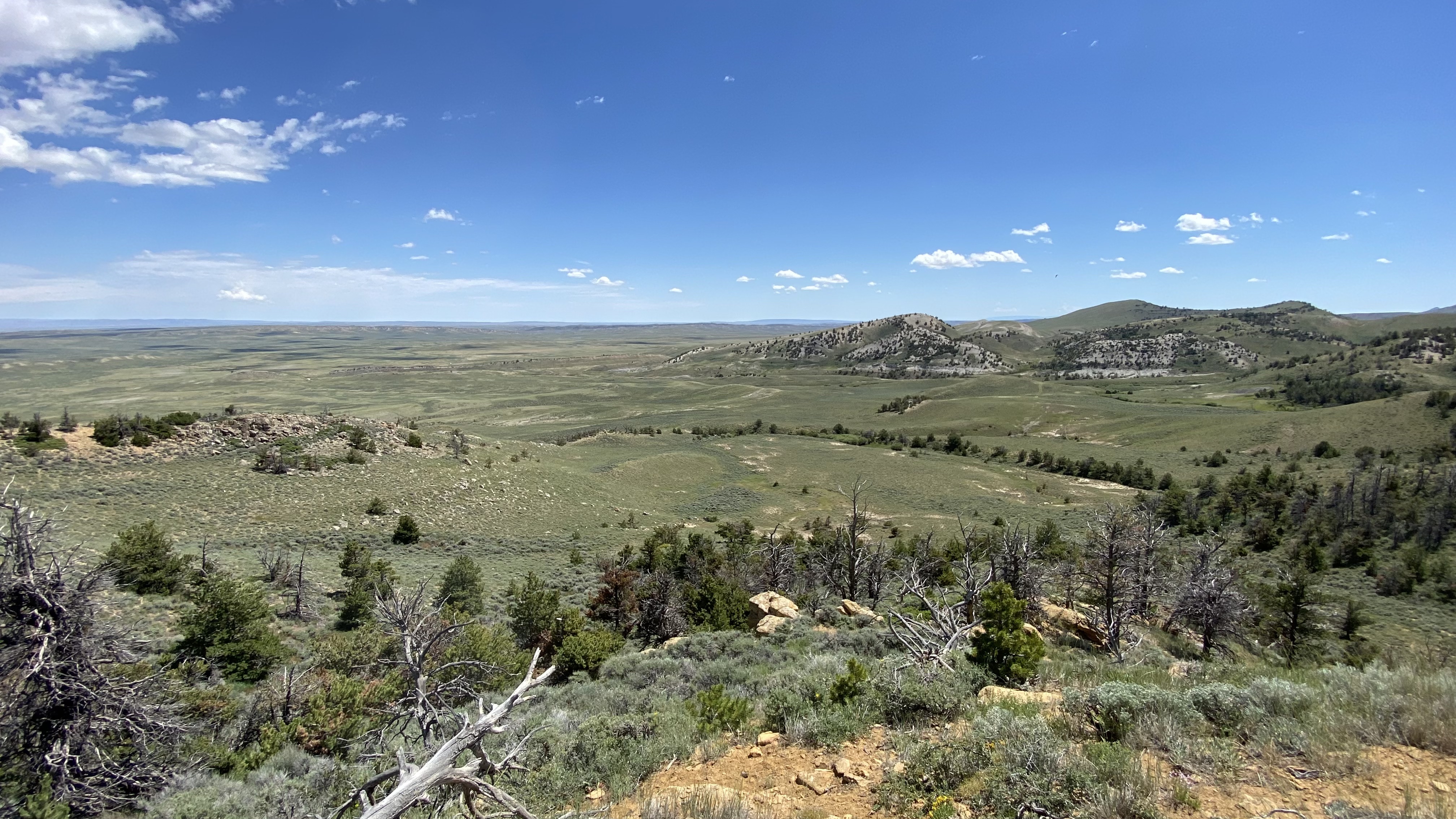
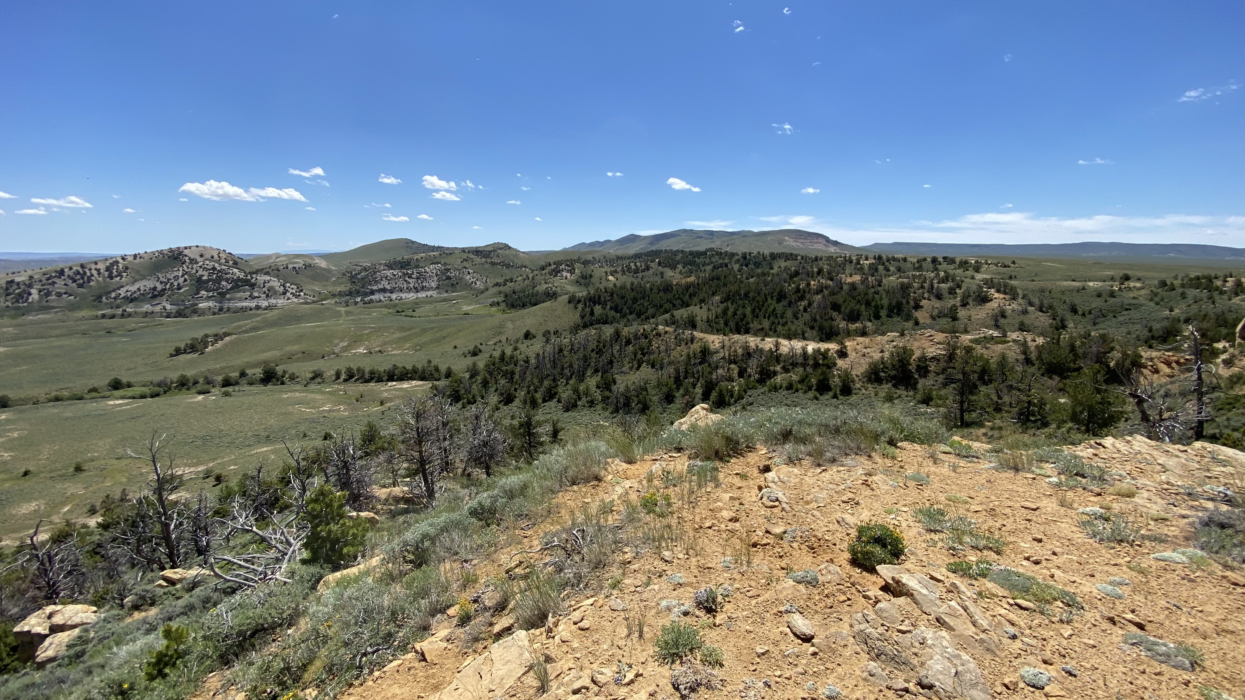
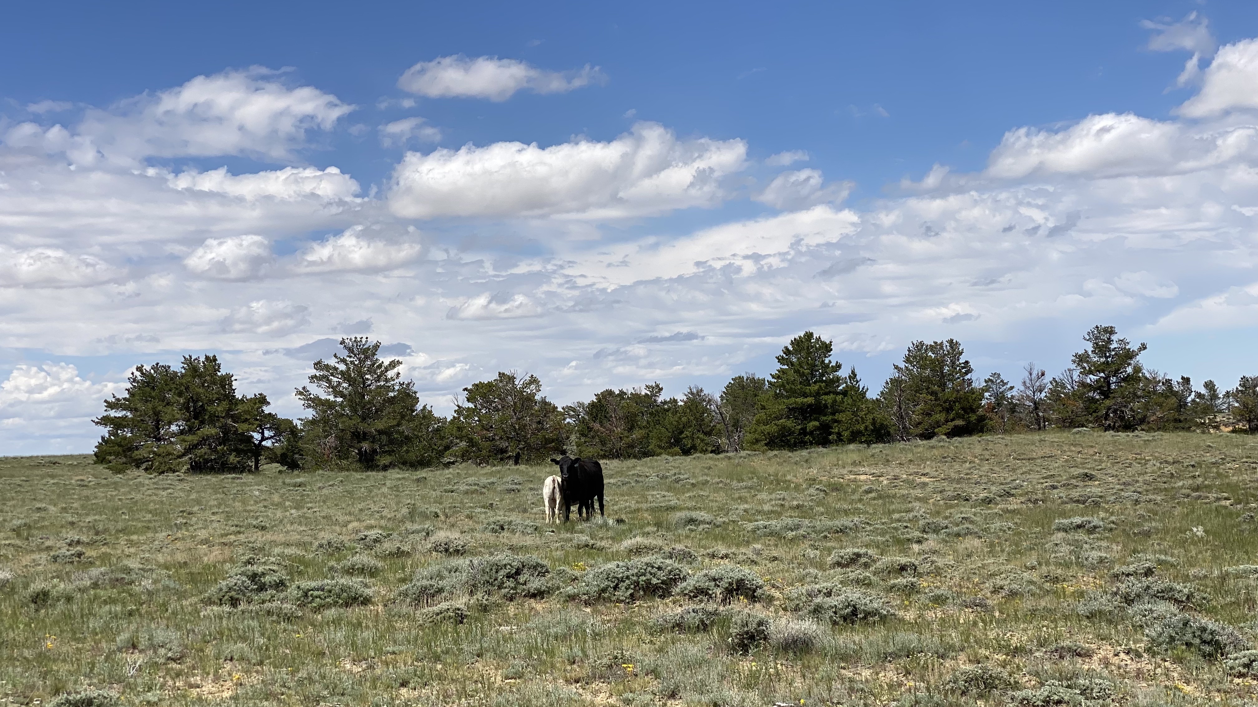
Big Wyoming grass ranch capable of running at least 500-plus pairs through the grazing season. This hard-to-find 20,000-acre plus ranch is all blocked up and contiguous. The ranch is located almost exactly in the center of the state at the headwaters of several of the states river basins, most notably the S. Fork of the Powder River, Deer Creek, and East Canyon Creek. It has excellent upland, and big game hunting for mule deer and pronghorn antelope, as well as some elk in the high country. With its good diversity of grazing hard grasses in the lower basin area and cooler season, lush grasses, and forbs in the higher elevation areas of the Deer Creek and Cyclone Ridge areas, the ranch is ideal for cheap summer gains and ease of management. The ranch is very scenic, largely unimproved, and would make an excellent summer and fall livestock operation. It also has an abundance of recreational and hunting potential, that currently, is underutilized.
Acreage Summary ()
20,936 total acres
11,135 deeded
8,341 BLM
1,060 State Land
400 private in-holding
Location
Located in the center of Wyoming on the western boundary of Natrona County, 13 miles south of HWY 26 from Waltman, WY on what is known as the Gas Hills Road, a maintained county road that runs along and through the entire ranch.
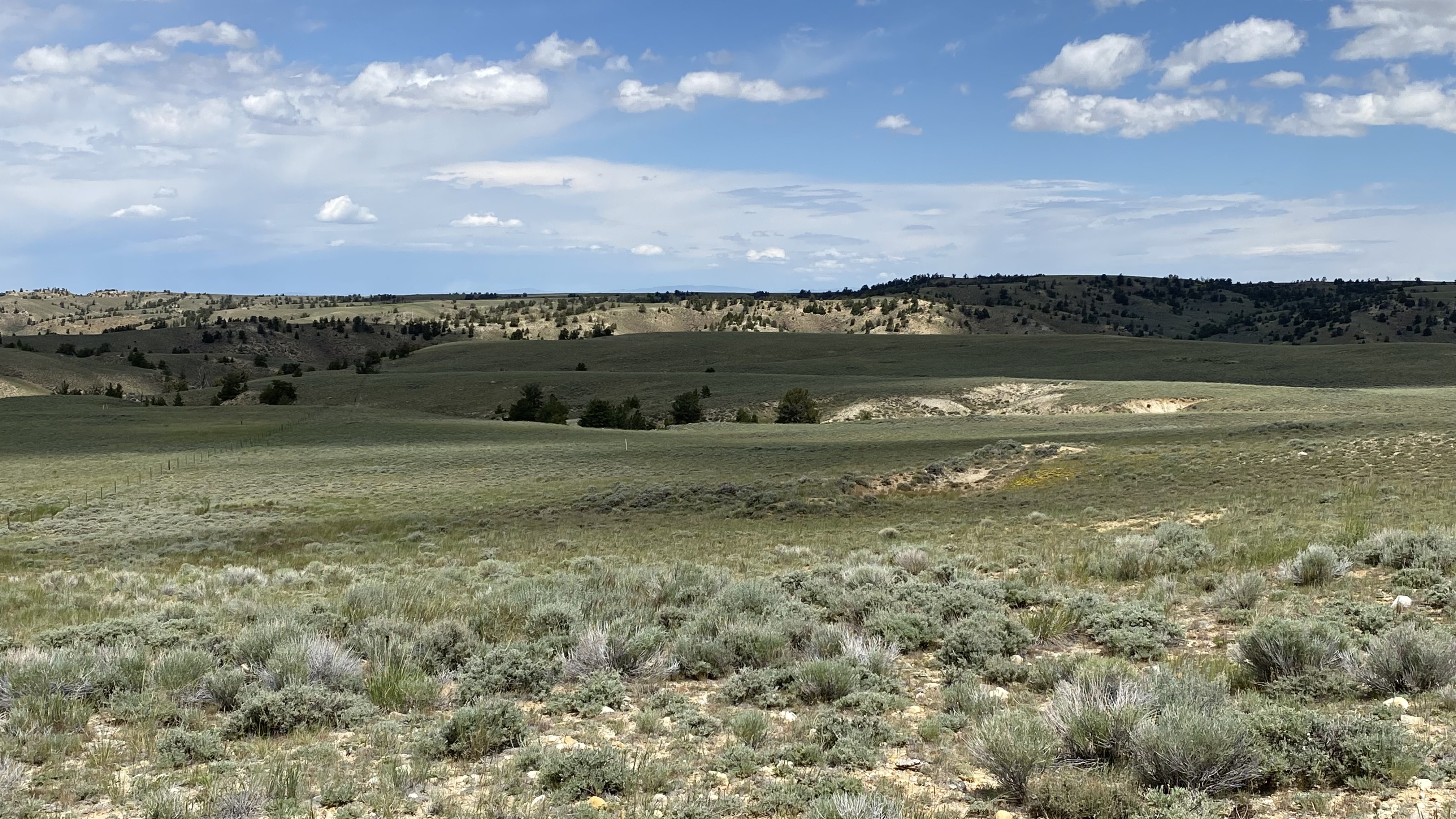
Topography, water, and range
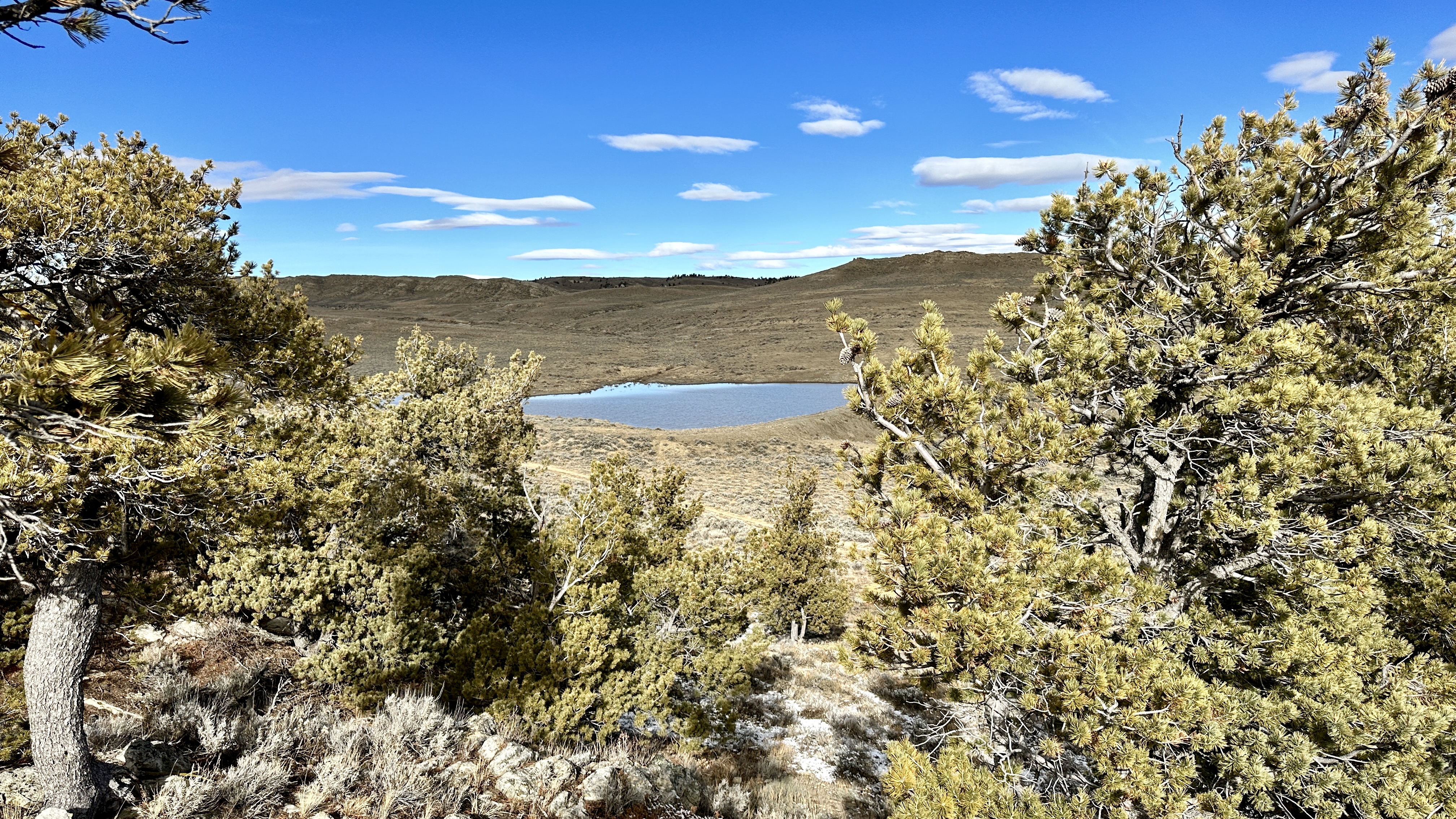
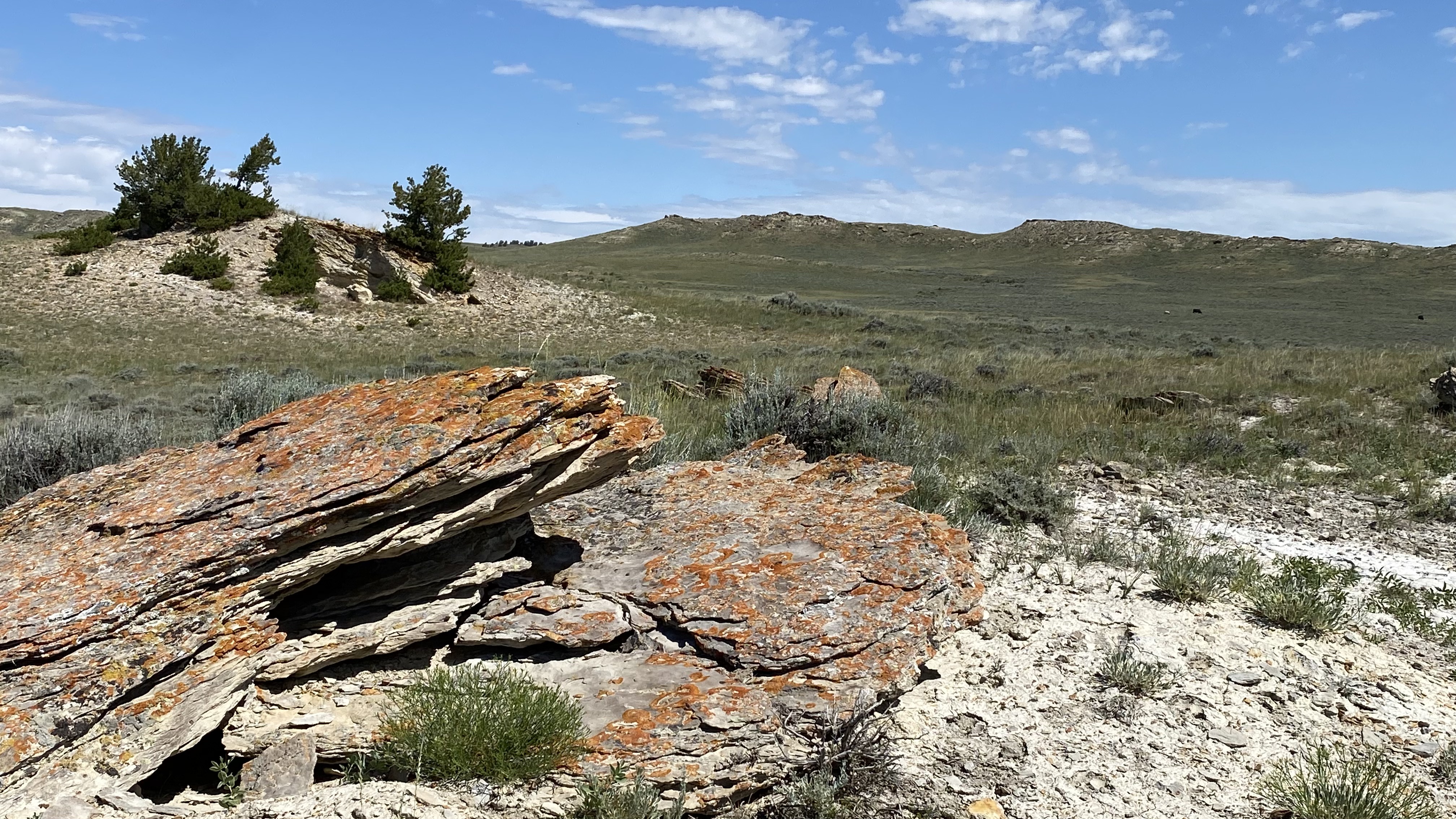
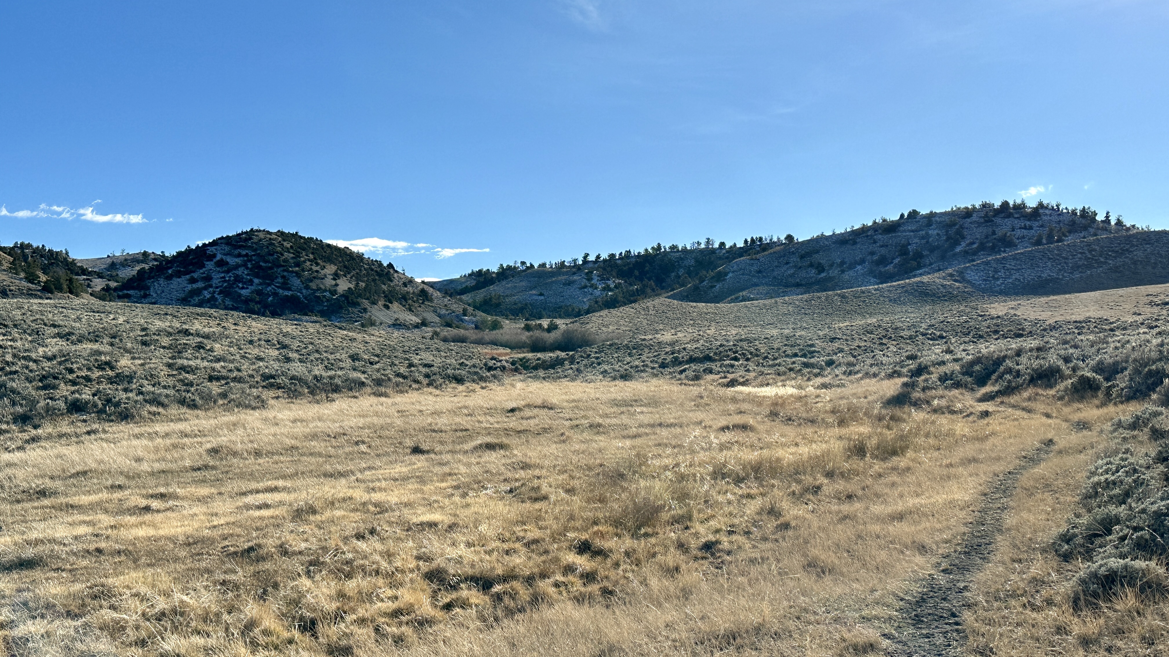
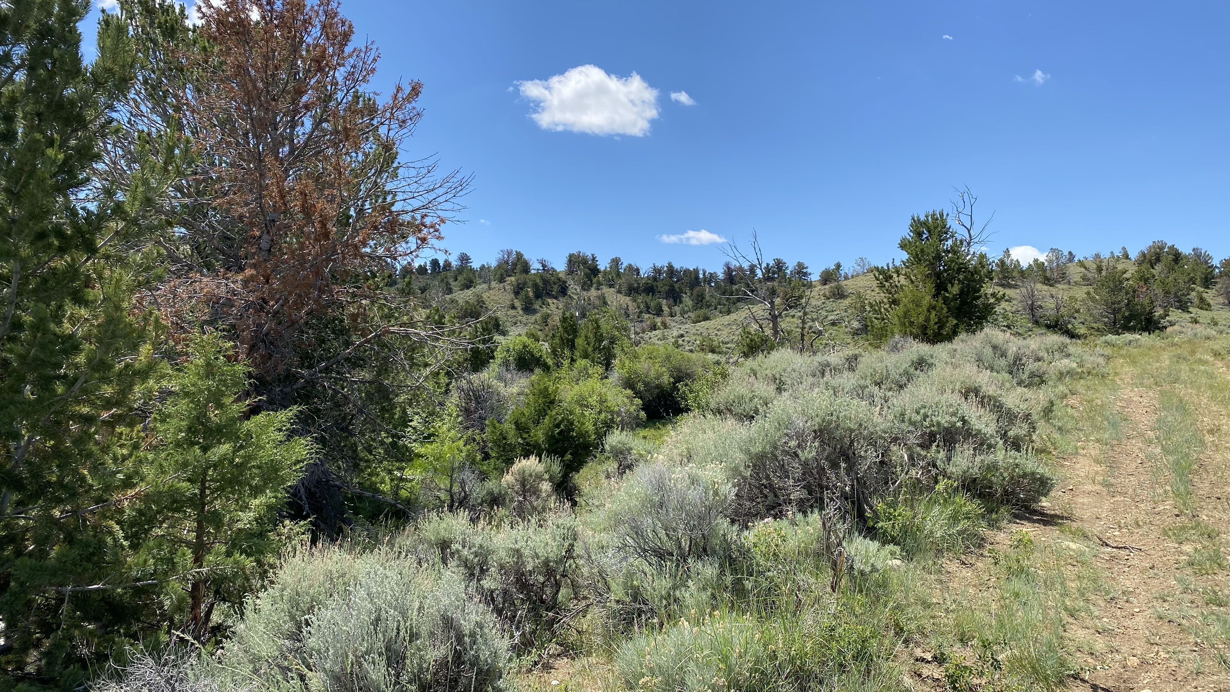
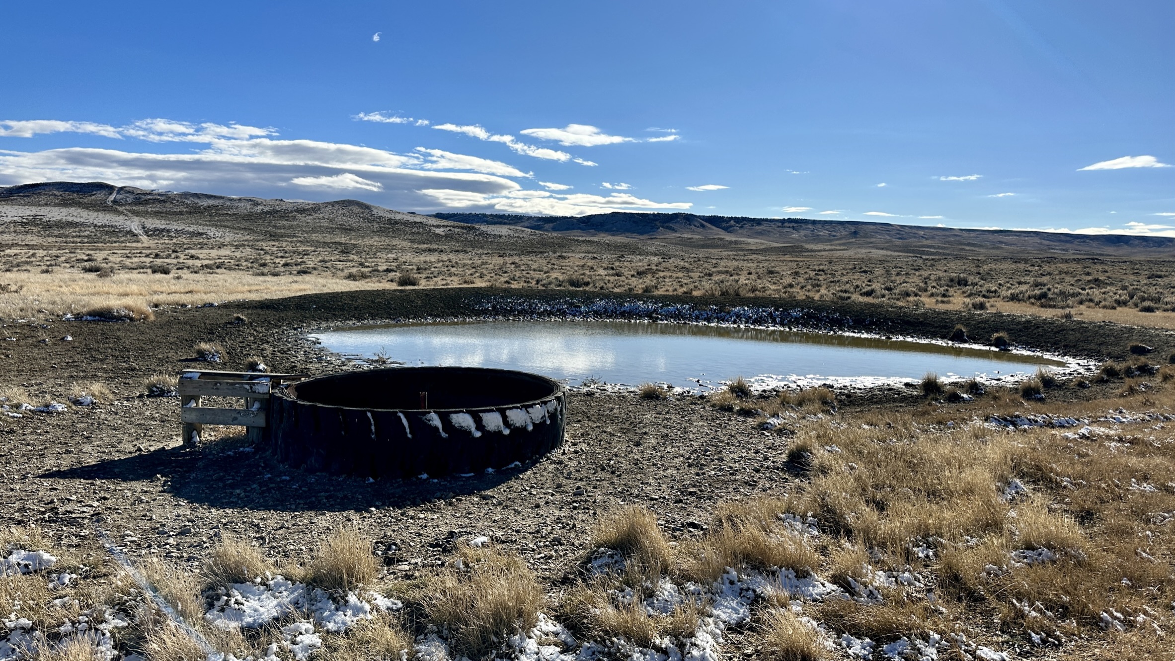
The ranch has a good mix of open grazing land in the lower areas of the ranch (elevation 6,300) and rougher and more, mountainous-like country in the higher elevation areas in the southwest portion of the ranch (elevation 7,000). The lower elevation areas are classic Wyoming rangelands consisting of big sagebrush, native grasses, shrubs, and few trees. This area is served by a 2-mile-long livestock water pipeline, numerous reservoirs, springs, and river drainage areas that tend to be seasonal in their flows, but are still good sources of water. The higher elevation areas are rougher, but full of good grass, and sparsely covered with pine and juniper trees as well as native shrubs and deciduous trees. Water in these regions is from developed and undeveloped springs and creek drainages.
Nearest towns & airports
Casper & Casper International Airport, Casper, WY - 55 miles
Riverton and the Central Wyoming Regional Airport - 68 miles
Shoshoni, WY - 65 miles
Wyoming State Hunting Areas
Antelope 72 & 74 (Limited Quota or Draw Areas)
Deer 89 (Limited Quota) & 97 (General Area)
Elk 23 (Limited Quota Area) & 128 (General Area)
Disclosures
The property is currently leased to Clear Creek Cattle Co. through 2023 with the option of an additional 5-year period with the following main terms and conditions:
Annual Rent $35,000
The Lessee is responsible for paying the BLM and State Land fees
The Lessee is responsible for paying
The current Lessee has a 15-day FROR on the ranch
(a copy of the written lease is available to qualified buyers.)
Mining operations
Bentonite (currently inactive and with delinquent payments to the landowner)
Gravel pit - pending
Hunting
The hunting is currently managed and regulated through the Wyoming Game & Fish as a Walk-Area for the public.